The 10 cloud types
Every cloud in the sky belongs to one of ten genera defined by the World Meteorological Organization. They are grouped by the altitude at which they form. Pick one to learn how to recognise it.
Cloud classification is standardised worldwide. The International Cloud Atlas, published by the World Meteorological Organization since 1896, is the reference weather services still work from, and it sorts every cloud into one of ten genera. The categories are mutually exclusive: a cloud belongs to exactly one of them.
Two questions decide which. First, how high does the cloud form? Second, is it heaped into separate masses, or spread flat into a layer? The Latin names encode both answers — cirro- means high and fibrous, alto- means middle, cumulo- means heaped, strato- means layered, and nimbo- means it is raining.
Below the genus, the Atlas adds species, varieties and supplementary features that combine into more than a hundred recognised forms. The ten genera are the level worth learning first: they account for every sky you will ever look at, and everything else is a refinement on top of them.
How to tell them apart
Three questions, asked in this order, narrow almost any sky down to two or three candidates.
-
How high is it?
High clouds look thin, white and slow, because they form six kilometres or more above the ground and are made of ice crystals. Low clouds are grey, textured and noticeably closer — you can often watch them move against a roofline.
-
Is it heaped or layered?
Heaped clouds have rounded tops with clear gaps of sky between them. Layered clouds spread into a continuous sheet with no individual outlines. Some skies show both at once, and the name then carries both roots.
-
How much light gets through?
If the disc of the sun still shows through the cloud, the layer is thin — cirrostratus or altostratus. If the sun is hidden completely and the light goes flat and grey, the layer is thick enough to rain.
High clouds
Above roughly 6,000 m. Made almost entirely of ice crystals, thin and often translucent.
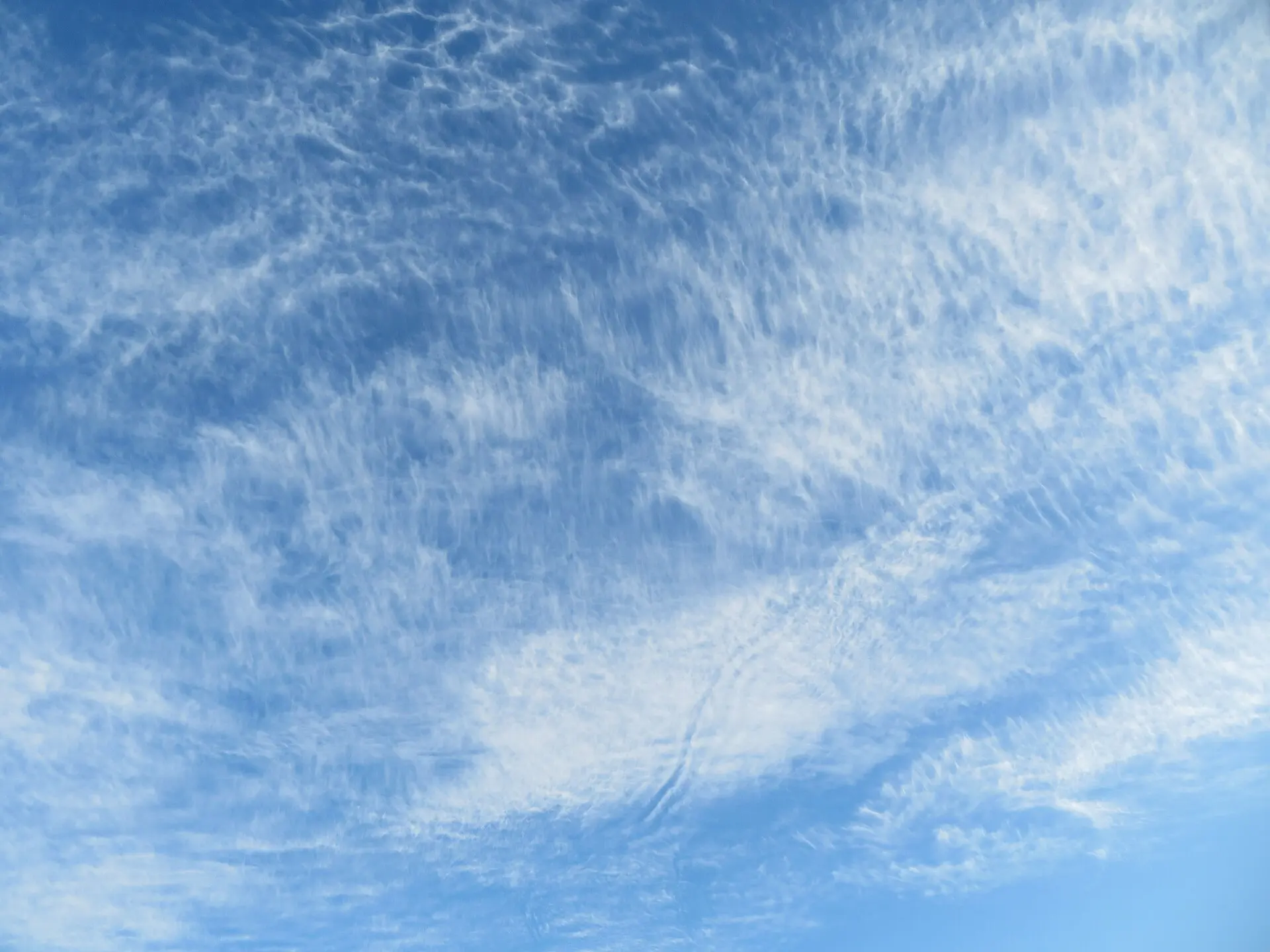
Cirrus
Cirrus are delicate white filaments of ice crystals drawn across the highest part of the troposphere. They are the thinnest clouds in the sky — never dense enough to hide the sun — and their strands are shaped by the wind carrying them.
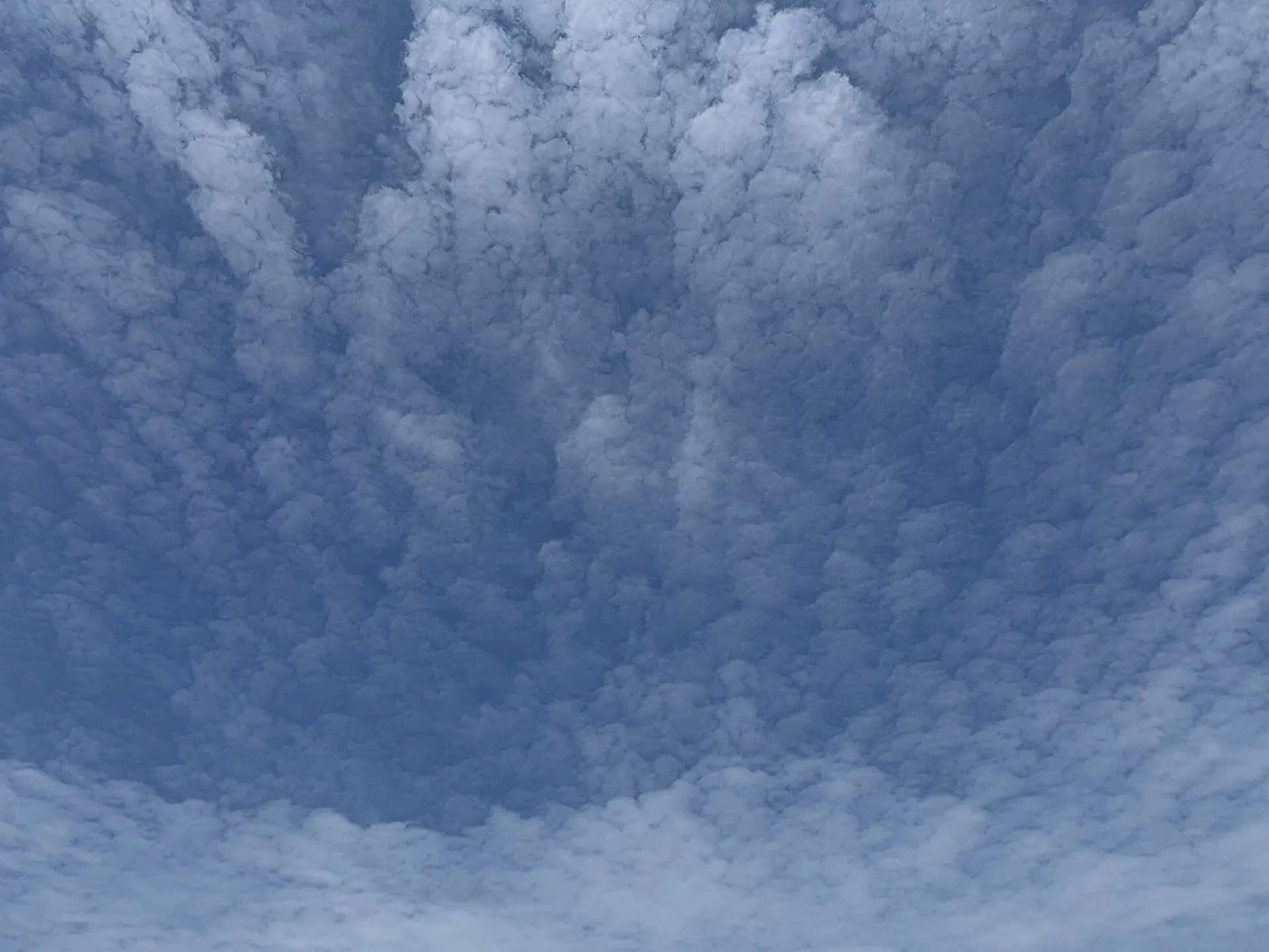
Cirrocumulus
Cirrocumulus is a high sheet of very small white grains or ripples, arranged in regular rows like the scales of a fish. It is the rarest and shortest-lived of the high clouds, and the only one that shows any granular structure.
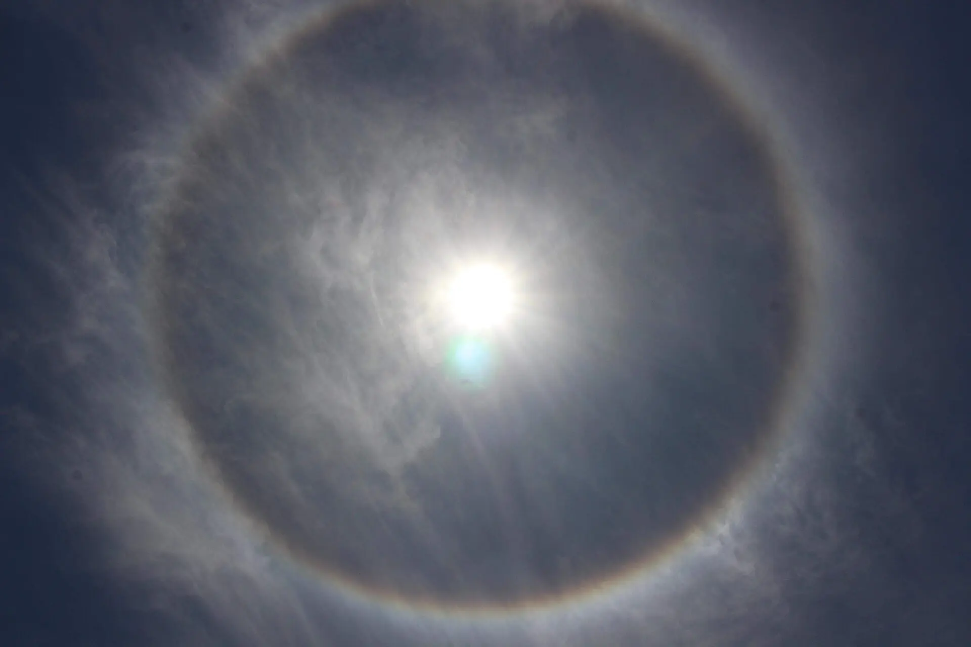
Cirrostratus
Cirrostratus is a transparent whitish veil of ice crystals covering all or most of the sky. It is so thin that the sun still casts sharp shadows through it, and it is the cloud responsible for the 22° halo ring.
Middle clouds
Roughly 2,000–7,000 m. A mix of water droplets and ice crystals.
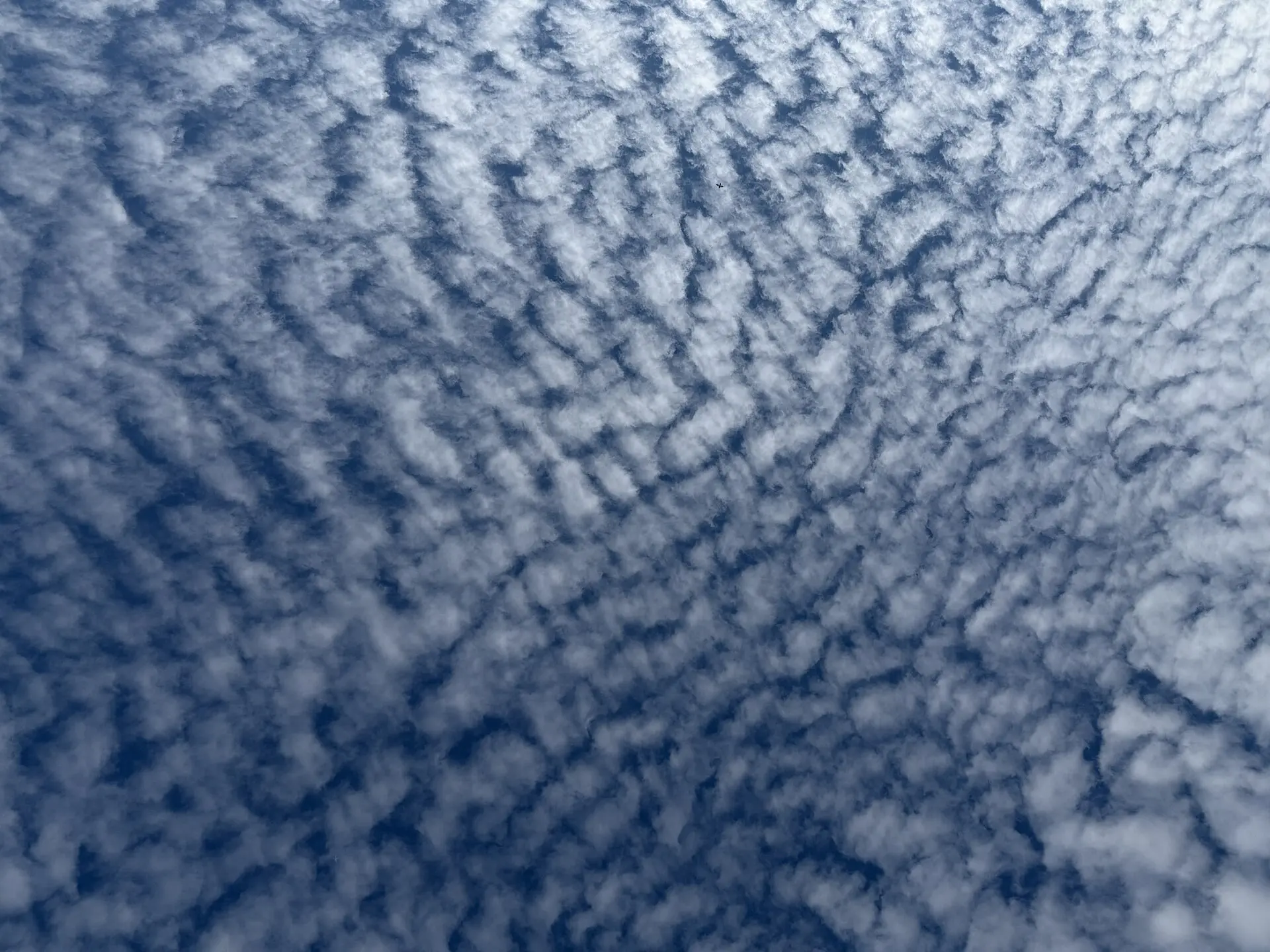
Altocumulus
Altocumulus is a mid-level layer of white or grey rounded masses, rolls or tiles, usually with darker shading on the underside of each element. It is one of the most common clouds in the sky and one of the most varied in appearance.
Altostratus
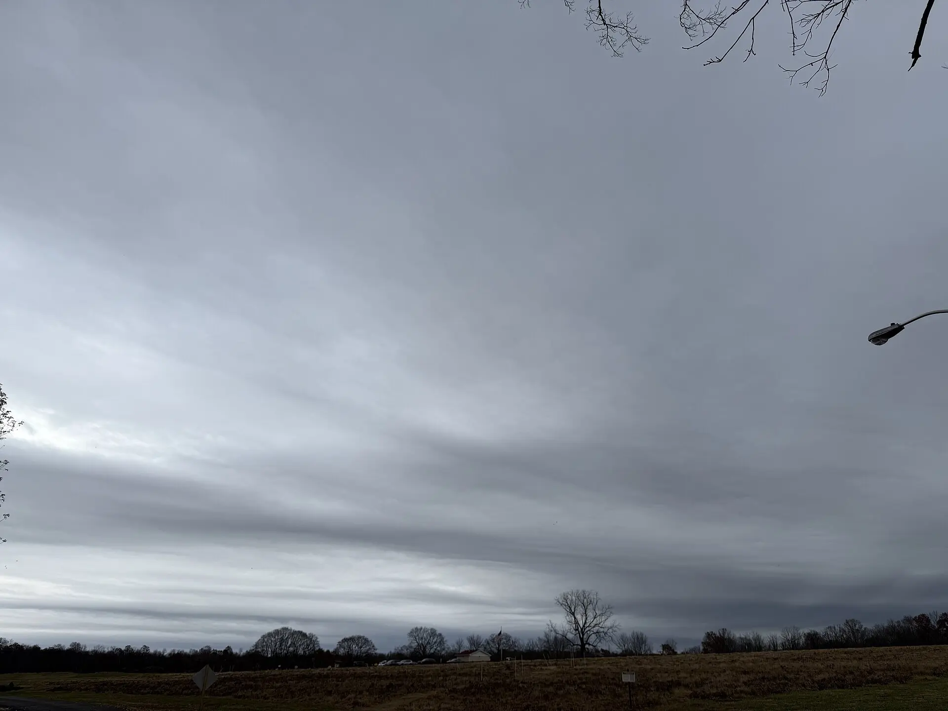
Altostratus is a uniform greyish or bluish sheet covering the whole sky at mid level. The sun shows through it as a dim, watery disc with no sharp edge, and objects on the ground stop casting shadows.
Nimbostratus
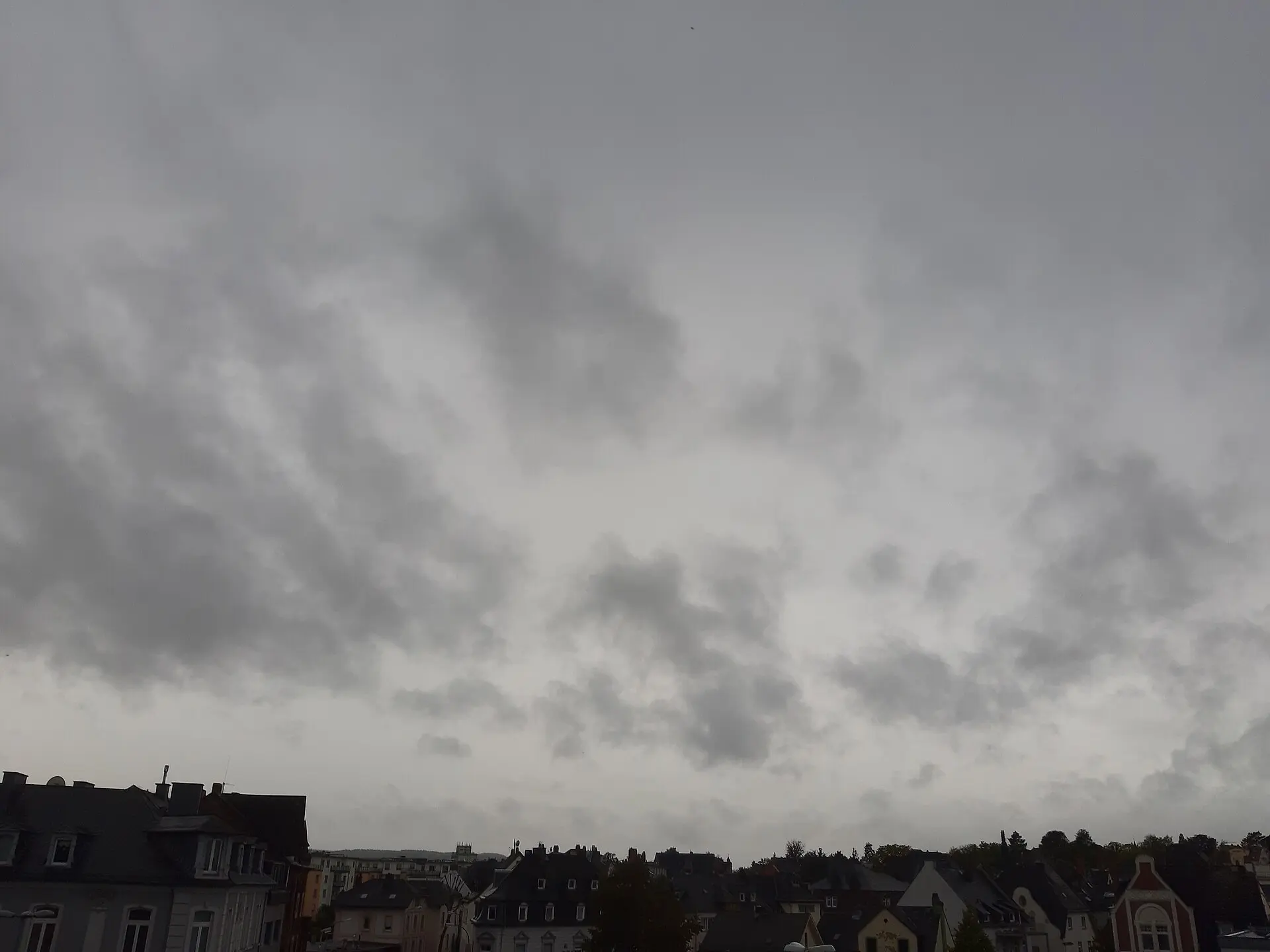
Nimbostratus is a thick, dark grey, shapeless layer that blots out the sun entirely and produces continuous rain or snow. It is the classic all-day rain cloud, and the only genus that is defined by the precipitation it delivers.
Low clouds
Below roughly 2,000 m. Made of water droplets, often grey and featureless.
Stratocumulus
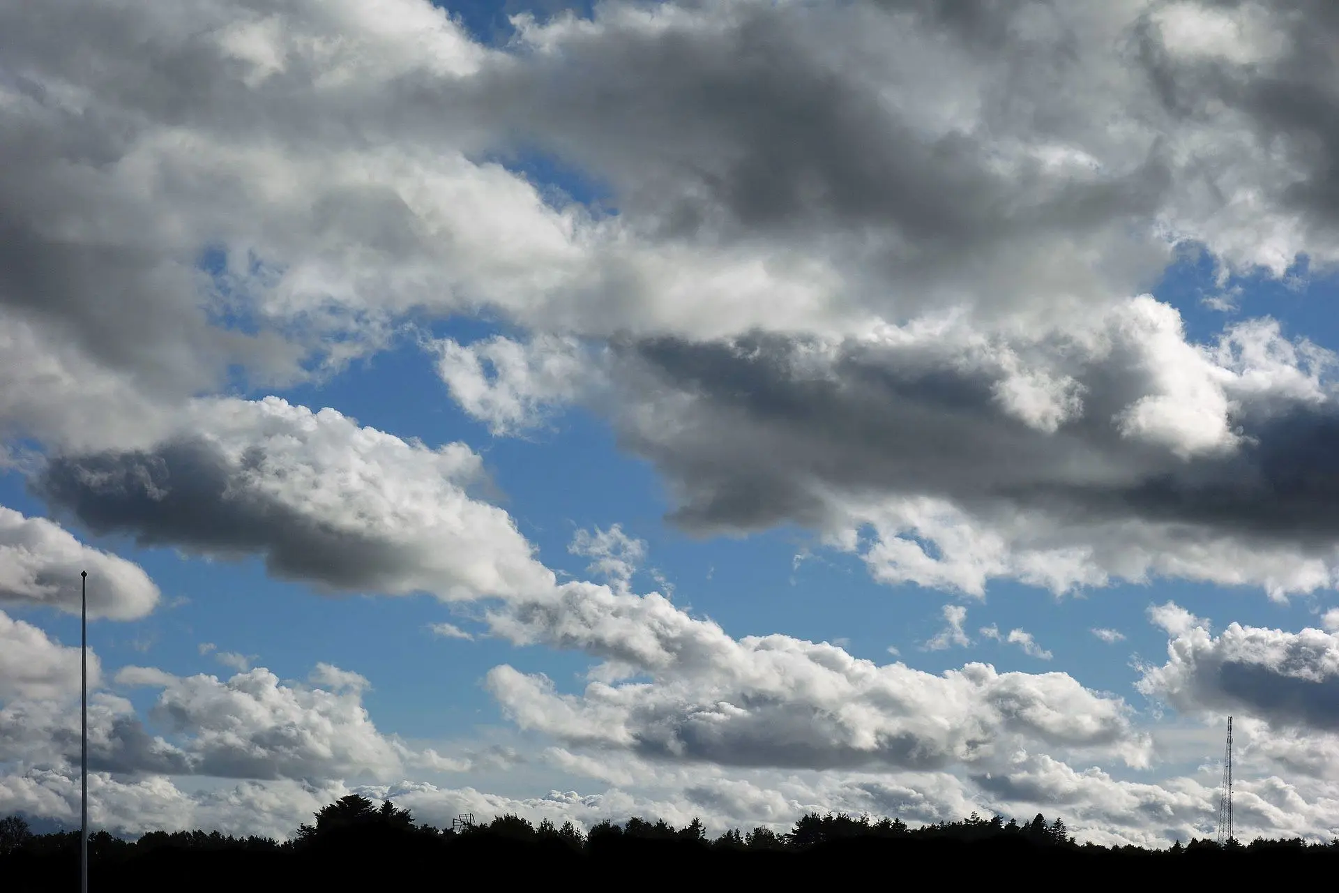
Stratocumulus is a low, lumpy layer of large grey and white rolls or patches, usually with gaps of brighter sky between them. It covers more of the Earth's surface than any other cloud type and rarely produces more than drizzle.
Stratus
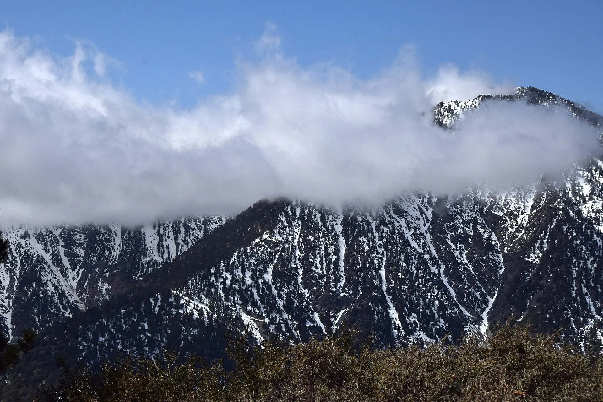
Stratus is a uniform, low, light grey layer with no visible structure — essentially a sheet of fog that formed above the ground rather than at it. It is the lowest of all cloud genera and produces at most drizzle.
Clouds with vertical development
Clouds that build upward through several altitude bands, from a low base to great height.
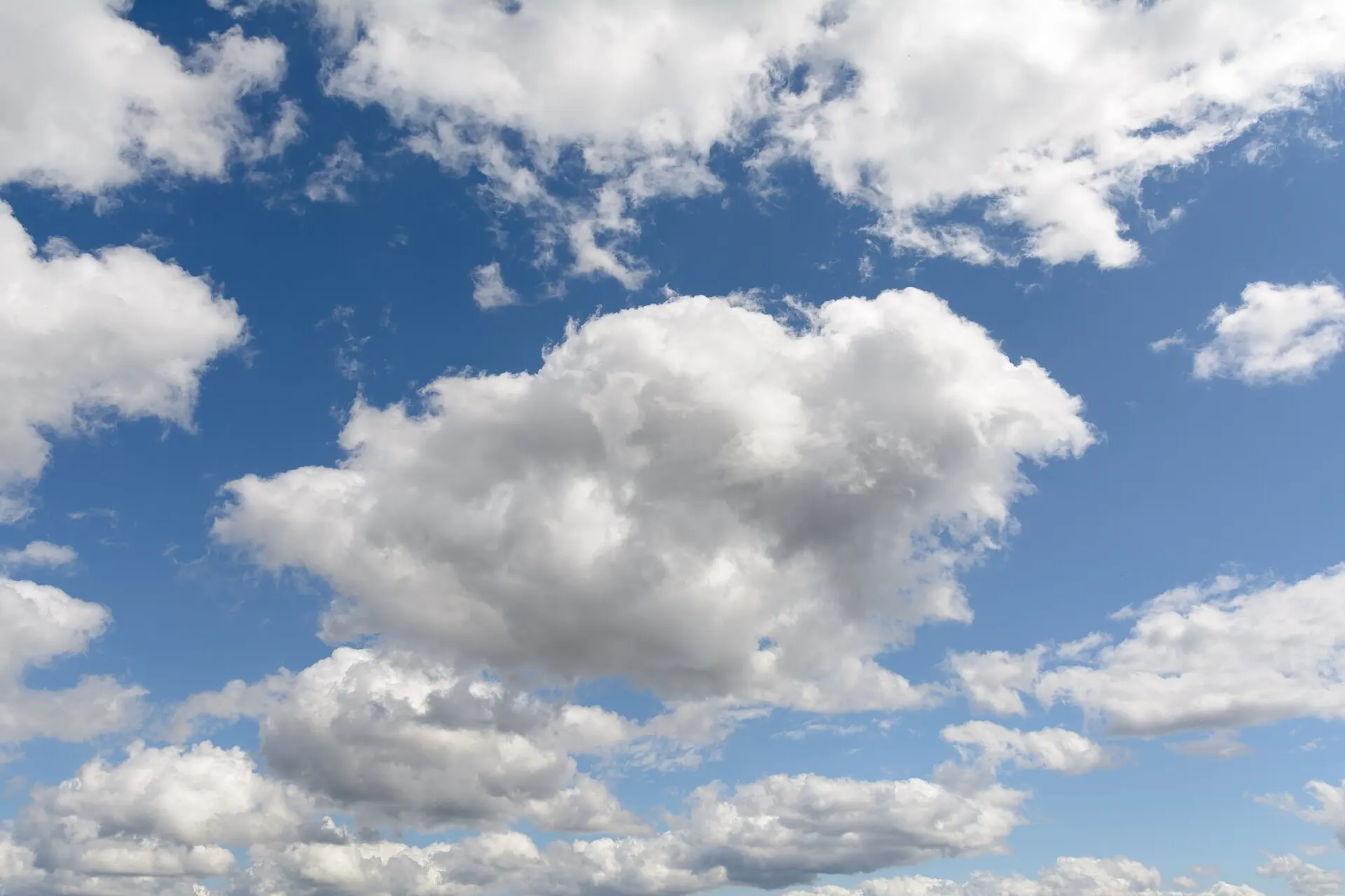
Cumulus
Cumulus are detached, brilliant white heaps with sharp cauliflower-like tops and distinctly flat bases. They are the clouds children draw, the classic sign of a pleasant day — and the seed from which thunderstorms grow.
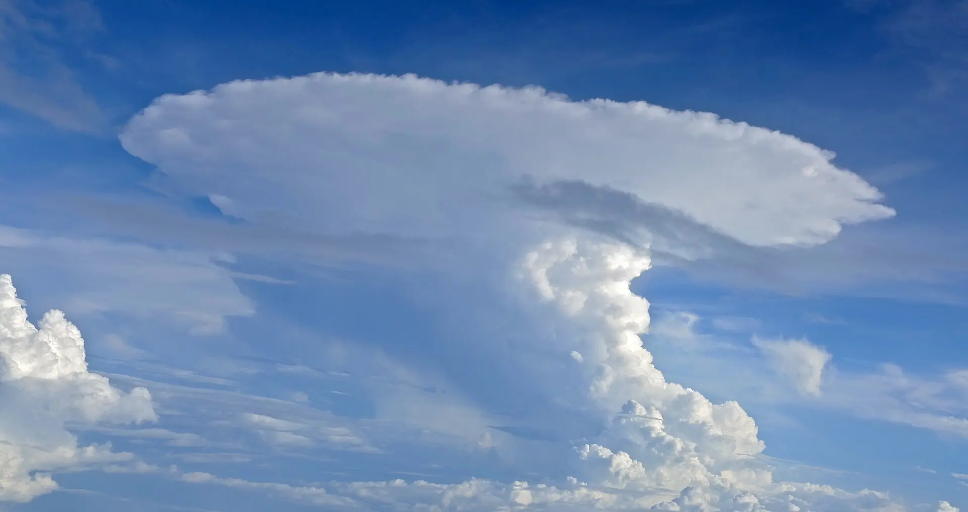
Cumulonimbus
Cumulonimbus is a vast, dense tower that reaches from a low base to the top of the troposphere, usually crowned with a flattened anvil of ice. It is the only cloud that produces lightning, and the source of hail, downbursts and tornadoes.
Frequently asked questions
How many types of clouds are there?
Ten, at the genus level used by the World Meteorological Organization. Counting the species and varieties defined beneath each genus, more than a hundred named forms exist — but every one of them is a variation on one of the ten.
What are the three basic cloud forms?
Cirrus, cumulus and stratus: fibrous, heaped and layered. Luke Howard proposed these Latin names in 1802, and the modern ten-genus system is still built from them, combined with prefixes for altitude and for rain.
Which clouds mean rain is coming?
Nimbostratus brings steady rain lasting hours; cumulonimbus brings heavy showers, hail and thunder in bursts. A high veil of cirrostratus often arrives a day ahead of a front, so it is an early warning rather than rain itself.
What is the difference between cirrus and cirrostratus?
Both are high ice clouds. Cirrus appears as separate white filaments with blue sky between them. Cirrostratus covers the whole sky as one continuous veil, thin enough for the sun to shine through, often with a 22° halo around it.
Not sure what you are looking at?
Point your iPhone at the sky and let Cloud ID name it for you — with three ranked candidates and the reasoning behind each one.
Download on the App Store