Stratocumulus
Stratocumulus is a low, lumpy layer of large grey and white rolls or patches, usually with gaps of brighter sky between them. It covers more of the Earth's surface than any other cloud type and rarely produces more than drizzle.
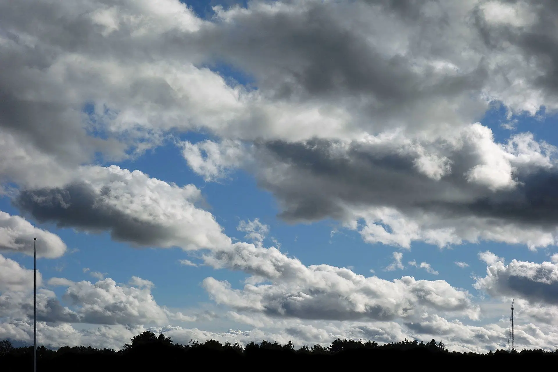
Photo: W.carter / CC BY-SA 4.0 · Wikimedia Commons
- Typical altitude
- Below 2,000 m (6,500 ft)
- WMO abbreviation
- Sc
- Altitude band
- Low clouds
- Also called
- the most common cloud on Earth
How to recognise it
- Large rounded masses or rolls, often organised into rows or a honeycomb pattern.
- Each element is wider than three fingers held at arm's length — noticeably bigger than altocumulus.
- A mix of grey and white in the same layer, with distinctly darker undersides.
- Gaps of blue or brighter sky between the elements, unless the layer closes over completely.
What weather it signals
- Generally benign. Stratocumulus produces at most light drizzle or a few flakes of snow.
- It often forms when a cumulus layer spreads out and flattens against a temperature inversion in the late afternoon or evening.
- A stratocumulus deck breaking up during the day usually means clearing skies ahead.
How to photograph it
- Sunset is the best moment. Low light picks out the three-dimensional structure of the rolls and the gaps glow.
- Use a wide angle to show the repeating pattern across the whole sky, which is what makes the cloud recognisable.
- Shoot toward the brighter gaps for contrast rather than at the flat grey centre of the deck.
Fun facts
- Stratocumulus covers a greater fraction of the Earth's surface than any other cloud genus, dominating the cool subtropical oceans.
- Because it is bright and low, it reflects a large amount of sunlight back to space and is one of the most important — and most uncertain — factors in climate models.
- It frequently forms in the evening as daytime cumulus loses its heat source and spreads sideways instead of rising.
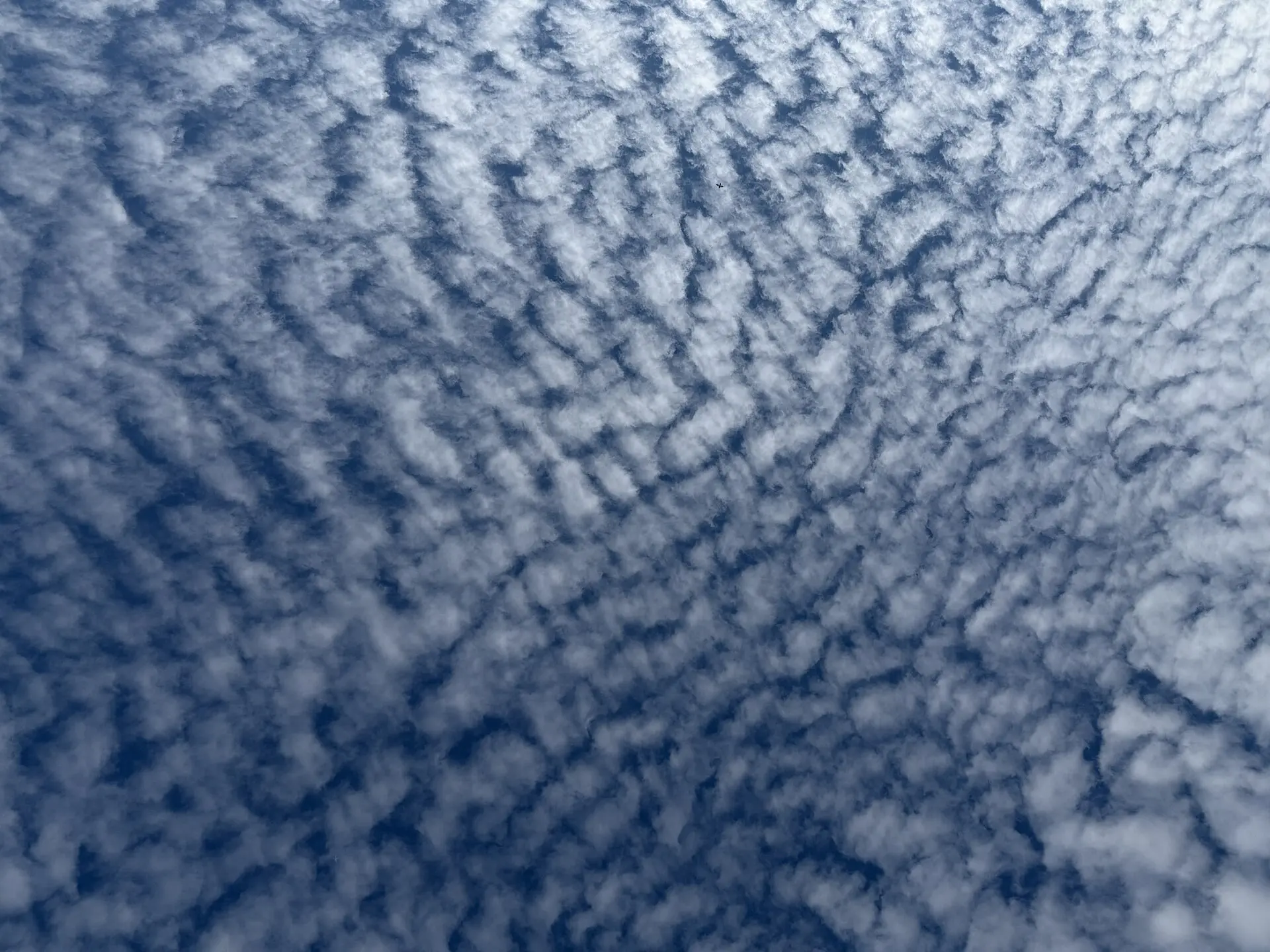
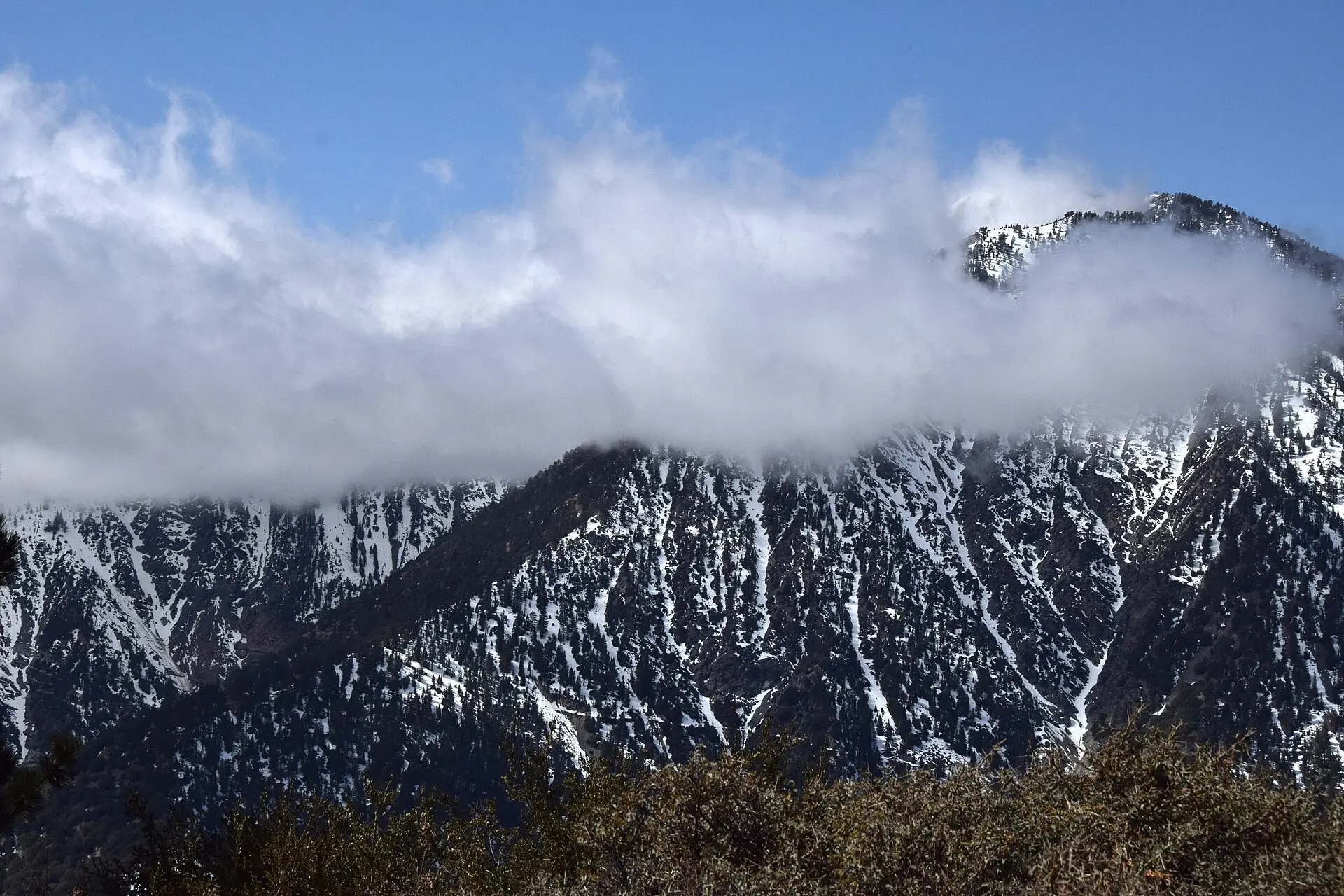
Easily confused with

Frequently asked questions
How do I tell stratocumulus from altocumulus?
By apparent size. Hold three fingers up at arm's length: if an individual cloud element is wider than that, it is stratocumulus; if it is narrower, it is altocumulus. Stratocumulus also looks closer and more three-dimensional.
Does stratocumulus mean rain?
Rarely. It can produce light drizzle, but it is not a rain-bearing cloud. If the sky is filling with stratocumulus and you want to know whether rain is coming, watch whether it thickens into nimbostratus or grows vertically into cumulus.
What is the difference between stratocumulus and stratus?
Structure. Stratus is a completely uniform grey sheet with no visible elements — like fog lifted off the ground. Stratocumulus is clearly lumpy, with distinguishable rolls and brighter gaps between them.
Not sure what you are looking at?
Point your iPhone at the sky and let Cloud ID name it for you — with three ranked candidates and the reasoning behind each one.
Download on the App Store