Altocumulus
Altocumulus is a mid-level layer of white or grey rounded masses, rolls or tiles, usually with darker shading on the underside of each element. It is one of the most common clouds in the sky and one of the most varied in appearance.
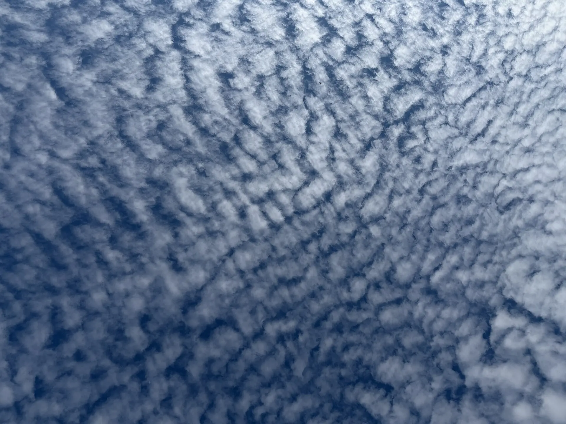
Photo: Famartin / CC BY-SA 4.0 · Wikimedia Commons
- Typical altitude
- 2,000–7,000 m (6,500–23,000 ft)
- WMO abbreviation
- Ac
- Altitude band
- Middle clouds
- Also called
- sheep clouds
How to recognise it
- Rounded clumps, rolls or flattened tiles arranged in groups, lines or waves.
- Each element is roughly one to five degrees wide — between the width of your little finger and three fingers at arm's length.
- Grey shading on the underside of the elements. This is the decisive difference from the pure white cirrocumulus.
- Gaps of blue sky are often visible between the elements, though a dense layer can close over completely.
What weather it signals
- A single flat layer of altocumulus on an otherwise calm morning usually means the weather is unchanged.
- Altocumulus with turret-like tops (Altocumulus castellanus) on a summer morning is a strong warning: the mid-atmosphere is unstable and thunderstorms are likely later that day.
- Altocumulus thickening and lowering ahead of a front often precedes steady rain.
How to photograph it
- Shoot when the sun is low. Side lighting exaggerates the shading that defines the element structure.
- A wide angle captures the wave pattern across the sky, which is the most striking thing about this cloud.
- Look for the iridescent colours near the thinner edges when the sun is just outside the frame.
Fun facts
- Altocumulus is the cloud most often responsible for iridescence — the pale pink and green bands that appear at thin cloud edges near the sun.
- Lens-shaped altocumulus lenticularis forms in standing waves downwind of mountains, hangs motionless for hours, and is a routine source of UFO reports.
- Because it sits between the water-droplet clouds below and the ice clouds above, altocumulus often contains both at once.
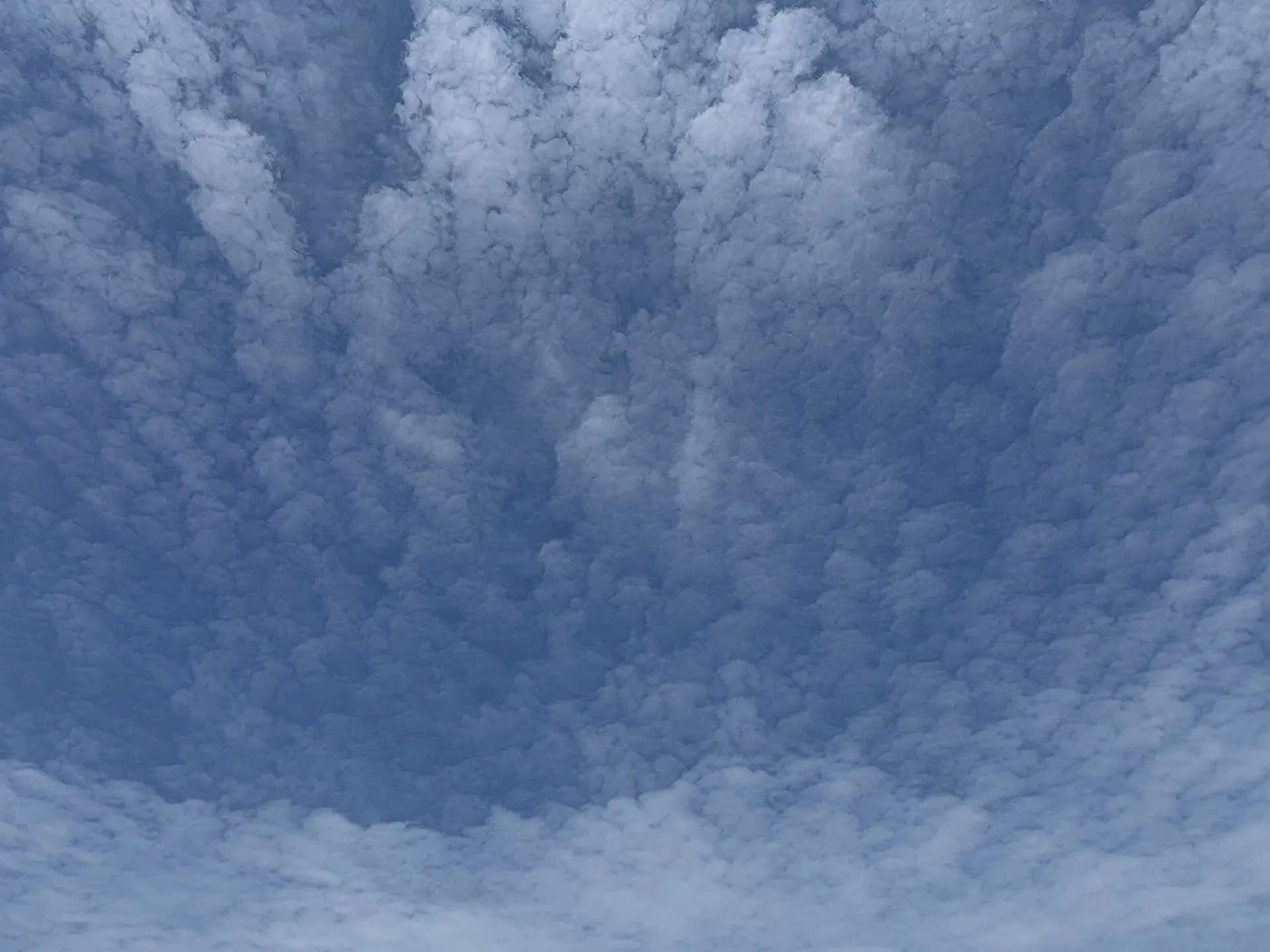
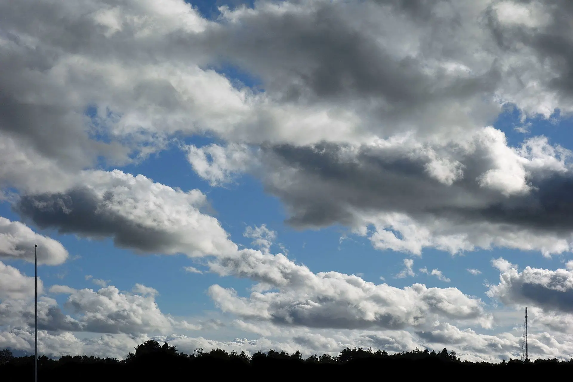
Easily confused with

Frequently asked questions
What is the difference between altocumulus and cirrocumulus?
Size and shading. Held at arm's length, a cirrocumulus element is narrower than your little finger and pure white; an altocumulus element is wider than your little finger and shows grey on its underside.
Does altocumulus mean a thunderstorm is coming?
Only one form does. If the elements have sprouted small towers or turrets on their tops in the morning — Altocumulus castellanus — the mid-atmosphere is unstable and thunderstorms often develop by afternoon. A flat, featureless altocumulus layer carries no such warning.
How do I tell altocumulus from stratocumulus?
By element size. Stratocumulus is lower and its individual masses look much larger — wider than three fingers at arm's length. Altocumulus elements are smaller, and the layer usually looks finer-grained and further away.
Not sure what you are looking at?
Point your iPhone at the sky and let Cloud ID name it for you — with three ranked candidates and the reasoning behind each one.
Download on the App Store